Official park map
Utah State Parks publishes the trail map. We link to it rather than copy it here. Cell service in the park is unreliable, so download or print it before you go.
- Snow Canyon State Park brochure: trail guide and map (PDF)
- Hiking page with printable trail guides
- Main park page, with the interactive map
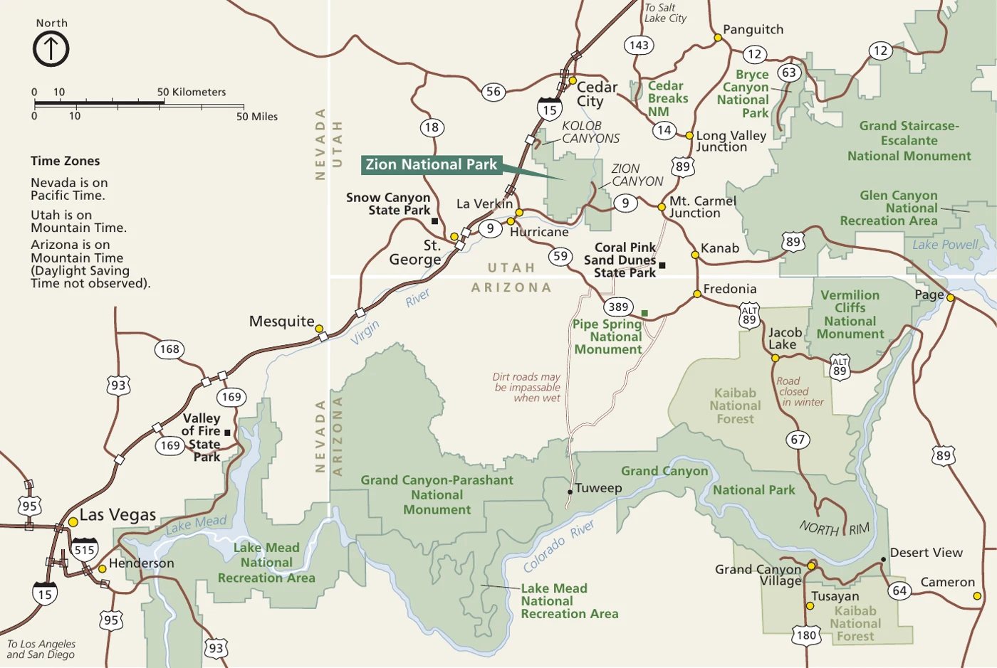
Where the park is
From the Utah State Parks Snow Canyon page:
- Address: 398 Snow Canyon Dr, Ivins, UT. Bike and e-bike rentals are in St. George and Ivins, not inside the park.
- Visitor center: inside the campground, two miles into the park from either entrance on Snow Canyon Drive.
- Scenic overlook: off SR-18, one mile south of the park’s north exit, on the west side of the highway.
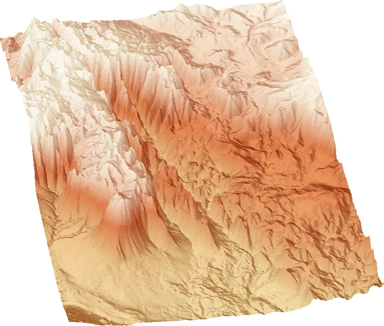
3D terrain view
Trails by area
From the park’s trail guide and map brochure (Sept 2026, PDF). Distances and ratings are as the brochure lists them. Use the brochure map to find each trailhead.
| Area | Trail | Distance | Rating |
|---|---|---|---|
| Main canyon | Berm | 2 mi | Easy |
| Main canyon | Butterfly | 2 mi | Moderate |
| Main canyon | Cinder Cone | 2 mi | Difficult |
| Main canyon | Hidden Pinyon | 1.5 mi | Moderate |
| Main canyon | Jenny’s Canyon | 0.5 mi | Easy |
| Main canyon | Johnson Canyon | 2 mi | Easy (closed Mar 15 – Sep 14) |
| Main canyon | Lava Flow | 2.6 mi | Moderate |
| Main canyon | Padre Canyon | 6 mi | Difficult |
| Main canyon | Petrified Dunes | 1.2 mi | Moderate |
| Main canyon | Pioneer Names | 0.5 mi | Easy |
| Main canyon | Red Sands | 3.5 mi | Difficult |
| Main canyon | Scout Cave | 6 mi | Moderate |
| Main canyon | Toe | 2.2 mi | Easy |
| Main canyon | Tortoise Walk | 0.3 mi | Easy |
| Main canyon | West Canyon Road | 8 mi | Easy |
| Main canyon | Whiptail (paved) | 6 mi | Easy |
| Main canyon | Whiterocks Trail / Amphitheater | 4 mi | Moderate |
| Paradise Canyon | Beck Hill | 3 mi | Moderate |
| Paradise Canyon | Chuckwalla | 2 mi | Moderate |
| Paradise Canyon | Paradise Rim | 2.5 mi | Moderate |
| Paradise Canyon | Turtle Wall | 2 mi | Moderate |
| Paradise Canyon | Gila | 16.5 mi | Difficult |
Trailheads named in the brochure
- Hidden Pinyon Trailhead: start of the brochure’s Main Canyon Loop (Hidden Pinyon, Whiptail, Petrified Dunes, Butterfly, Lava Flow, West Canyon Road, Red Sands).
- Chuckwalla Trailhead: start of the Paradise Canyon Loop (Chuckwalla, Beck Hill, Paradise Rim, 4.7 miles).
- Whiterocks Road parking lot: a one-mile trail to the Whiterocks Amphitheater.
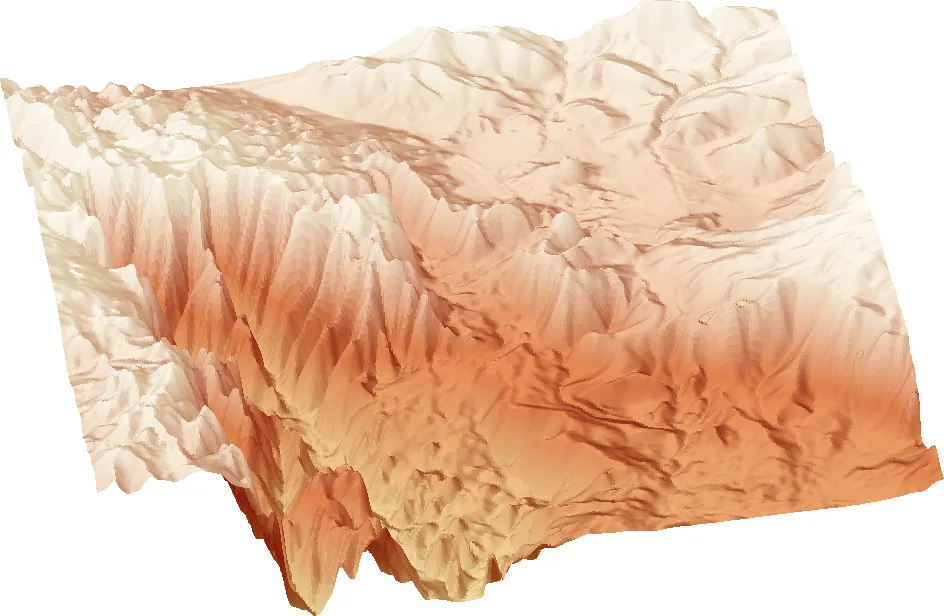
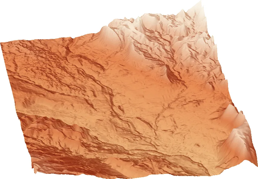
3D terrain by area
See also parking, plan your trip, and no signal.